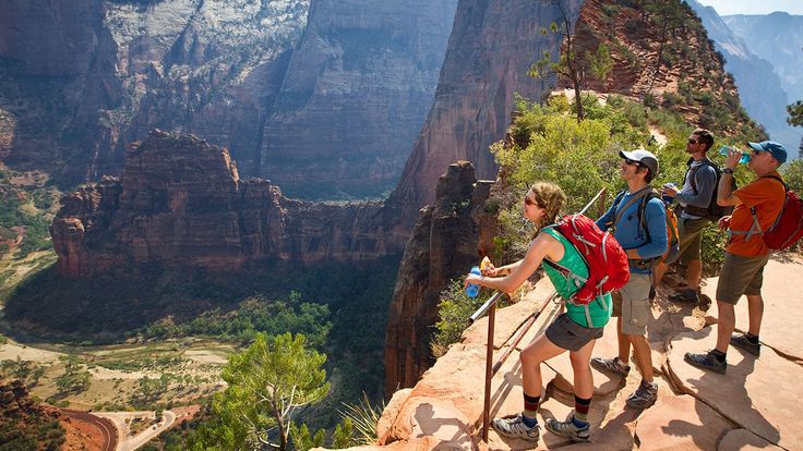
Jabal Yibir in the Hajar Mountains
Jabal Yibir in the Hajar Mountains, 1,527m above sea level a high mountain pass in the United Arab Emirates. It is one of the top adventure lovers things to do in Fujairah. The path to the top has been paved. The highest point and the mountain with the most names are different.
Jebel Yibir is the UAE’s tallest mountain or peak. But Jebel Jais has a point on a mountain slope that is the highest place you can stand in the UAE. The actual top of Jebel Jais, though, is in Oman. Jebel Yibir is 1,527 meters high, and Jebel Hafeet is 1,240 meters high.
All the steep and strange hairpin turns up to the military checkpoint are amazing. Even better is driving downhill. Even though you can’t go to the top of Jebel Yibir, you can still drive up to 1,350m to breathe fresh air and enjoy the beautiful views. You can find things here: wide wadis, impressive mountains, and some of the best ideas of Musandam and the Northern Emirates.
The road is in good shape, but parts of it are so steep that they reach up to 15%. The climb starts at Taiwan, 168m above sea level, and goes for 10.66 mi (17.15 km). Over this distance, you’ll go up 1359m in elevation, and the average slope is 7.94%.
Jebel Yibir Hiking
Jebel Yibir is a great place to go hiking at a high altitude. One of the hiking trails (25.656696, 56.111661) goes from Jebel Yibir to Baqal and ends in Wadi Naqab, connecting villages along the way.
Hiking Towards Yibir
Jebel Yibir is the dome-shaped one on the right. The trail starts the road, but you can’t drive up it because of erosion. You will walk by this building on the trail.
- You can take a break here. Inside the walled enclosure is a flat, dried-out mud “field” and a separated site on one side.
- Continue up the slopes behind the cisterns, and in a few minutes, you’ll reach a big farm with some new buildings and some old ones and fenced-in fields.
- Behind this farm, look up the ridge to find more rock walls. If you climb up the walls, you’ll reach a bigger farm with new and old buildings. There are some pictures on the rocks here.
The real top of Yibir is a short distance behind this, but you can use this peak to find your way. You need to imagine a way to get to the right side of “summit one” that doesn’t involve deep crossing wadis. Then you will go around this peak, keeping it on your left. The trail then turns slightly to the right and follows a faint path.
You should now see a second peak with a cairn on top. This is “summit two.” The top of Jebel Yibir is the dome-shaped peak on the other side of the valley, to the right.
You can go down by going around the right side of “summit one,” but it probably won’t be any faster. Take it easy because the ground is steep, and the stones are loose, so it’s easy to lose your balance. You can also be a coward and walk down the road. Have fun.
Remember:
Don’t leave any trash, including food, behind. Even organic waste can take months to break down, and in the meantime, animals will be drawn to it. It could make them not only stop eating their food and start eating what people leave behind but also make them sick. In some places, it can take years for plants to grow back. Leave things from nature and history where you find them. Don’t try to move them or take them home.
Also, Visit: the Dubai desert safari Group.
What do We know About Jabal Yibir?
- It stands roughly 1727m tall.
- The summit of Jabal Yibir has temperatures that are 10 to 15 degrees lower than the rest of the nation on an annual basis.
- Fujairah is the name of the state where the mountain lies.
- The mountain known as Jebel Qihwi is the one to which Jabal Yibir is linked.
- There is a military base at the top of the mountain. Thus several military checks exist on the path to the summit.
Tourists and tourists used to go up the mountain as far as 1300m. About 100m above this site lies the military installation. However, beginning in 2016, the whole mountain, from the base all the way to the peak, has become off-limits to the general public.


